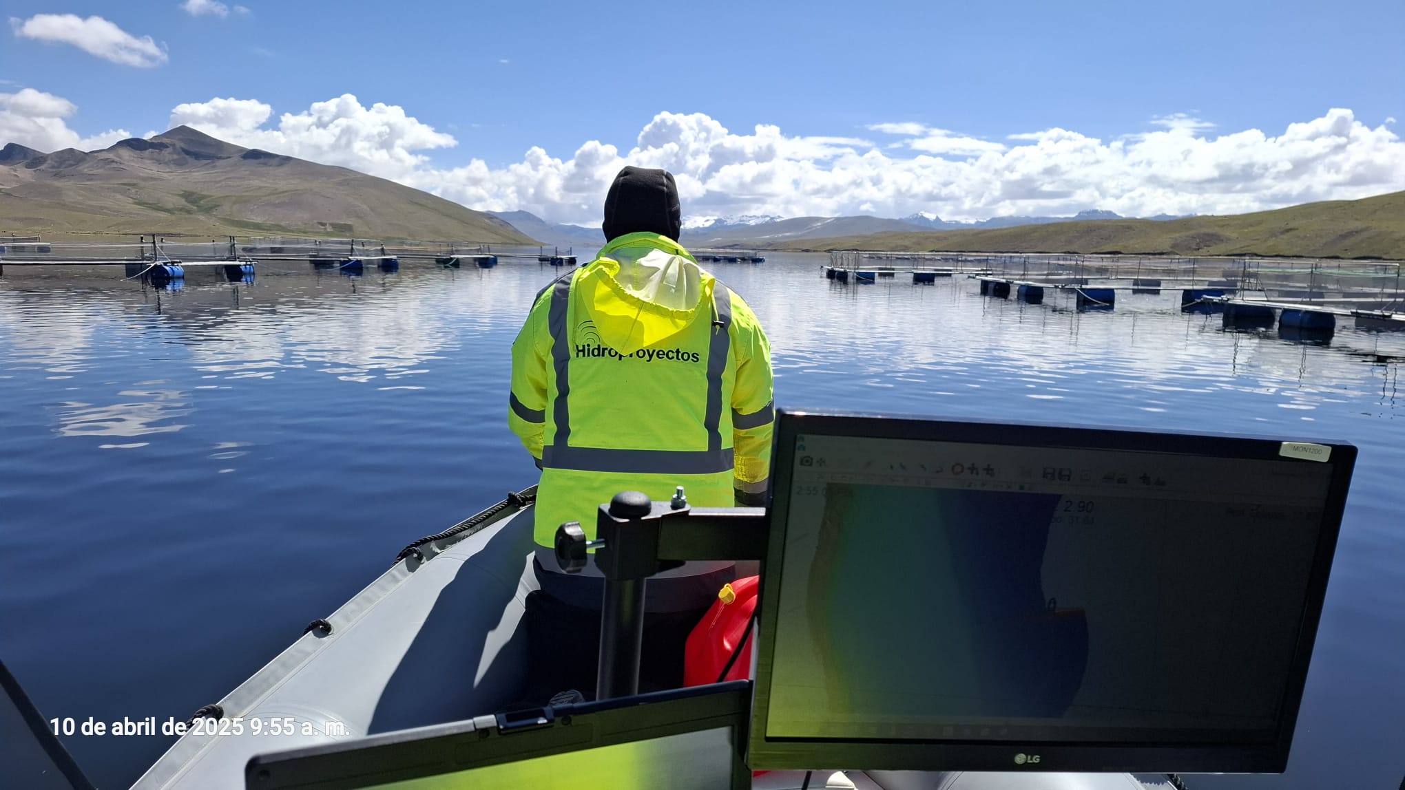
Hidroproyectos is a comprehensive services company in the fields of topography, bathymetry, geodesy, and geophysics, oriented towards projects developed in the maritime area with applications to the most varied fields of engineering.
Our equipment and software allow us to contribute to any phase of a project, from its conception to its completion, carrying out preliminary studies, planning, inspection, and control of the project in all its stages; executing data acquisition, processing, and interpretation, elaboration of plans, volume calculation, sampling, and valuations, allowing our clients to focus on performance and us to facilitate the work.
The human value and constant training of our personnel in the use of new technologies, methods, and software, oriented towards the constant improvement of our processes and an optimal after-sales service, is of utmost importance to Hidroproyectos, with the aim of achieving our clients' satisfaction.
Since our founding in 2005, we have become a leading company in the field of bathymetry, providing high-quality services to clients around the world. Over the years, we have acquired extensive experience and knowledge in the industry, working on projects in more than 12 countries.
Our team consists of dedicated professionals who are passionate about their work and committed to delivering exceptional results to our clients. With offices in three countries, we are well positioned to collaborate on marine projects in any phase, from planning and design to execution and beyond.
Our main values are accuracy, efficiency, and safety. We are dedicated to delivering accurate and reliable results that meet and exceed our clients' expectations.
If you are looking for a reliable partner for your marine project, look no further than our experienced team.
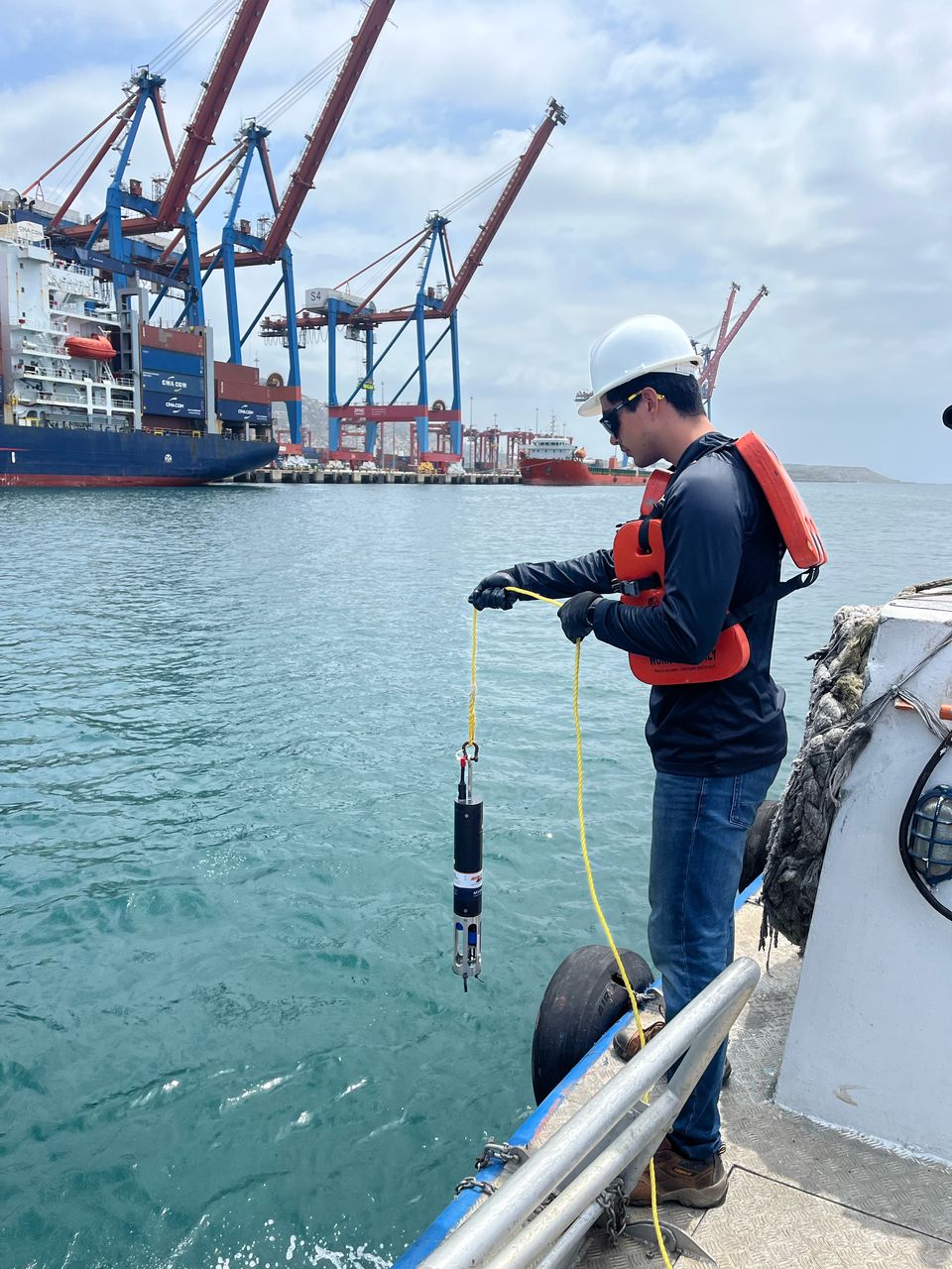
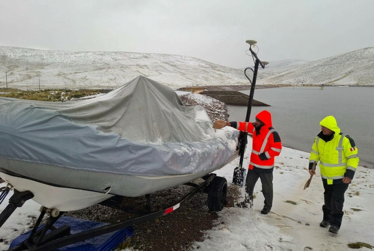
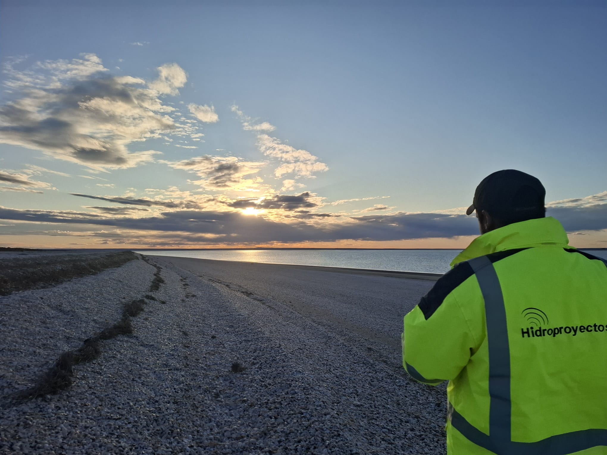

More than 20 years executing maritime, port, river, lake, and mining projects.
We integrate hydrography, geophysics, oceanography, positioning, and technical control in a single specialized team.
We use multibeam systems, sonar, magnetometry, GNSS, and specialized software for reliable data.
Processes oriented towards safety, quality control and data validation in the field and office.
Capacity for mobilization and operational support for projects throughout Latin America.
Professionals with experience in dredging, ports, pipelines, reservoirs, tailings, and complex water bodies.

Quality management certified under ISO 9001.